map the route
tools and tips for getting the route on the map
Great gravel routes are more than lines on a map. They connect riders to public lands, scenic landscapes, local communities, and memorable riding experiences while providing accurate information that helps cyclists choose routes that match their skills and goals.
When mapping routes, aim to prioritize safety, ride quality, accessibility, and transparency. Every route should give riders a clear understanding of terrain, surfaces, services, and challenges before they leave home. Put yourself in the shoes of a rider who has never been there before and provide enough information to help them understand what to expect.
EVERY ROUTE SHOULD INCLUDE:
The Basics
Compelling name
Distance and elevation gain
Start/end points that are logical - where can people safely and easily park all day or for multiple days?
Downloadable GPX file
Surface breakdown (pavement, gravel, singletrack, etc)
Consider difficulty ratings or suggested equipment (i.e. minimum tire width recommended)
Route Description
What makes the route special?
Who is it best suited for?
What type of experience should cyclists expect?
Points of Interest
Water sources
Restrooms
Food stops and convenience stores
Campgrounds
Scenic views and other interesting features along the route
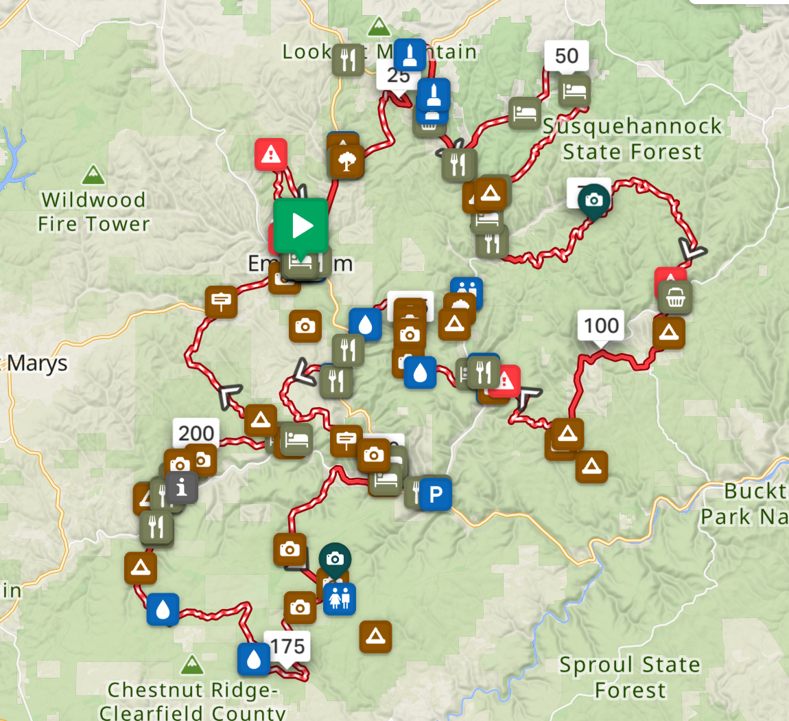
Add these all as waypoints in the route
Other Considerations
Cell service limitations - consider suggesting satellite communication device if the route is extremely remote
Seasonal closures
Hunting season considerations
Other access restrictions
ROUTE MAPPING ON RIDE WITH GPS
Ride With GPS is the most robust route planning platform for anyone from individuals to large organizations. Organizational and tourism account act as “mini websites” that can host all routes, points of interest libraries, photos, and written content.